- Low-pressure area:
The low-pressure area, located northeast of Sri Lanka, still persists, according to the Department of Meteorology.
This system is expected to move away from Sri Lanka and gradually weaken during the next 36 hours.
- Weather forecast for today:
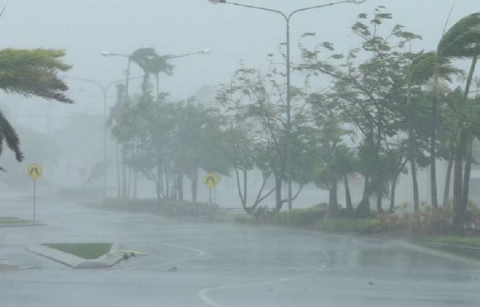
Showers or thundershowers will occur at times in the Western, Sabaragamuwa, Central, Southern, North-western and Northern provinces.
Heavy falls of about 100 mm are likely in some places in the Western, Sabaragamuwa, Central and North-western provinces and in Galle and Matara districts. Showers or thundershowers may occur elsewhere on the island after 1.00 pm.
The public is requested to take adequate precautions to minimize damage caused by temporary localized strong winds and lightning during thundershowers.
- Weather forecast for sea areas:
Under the influence of the low-pressure area, located northeast of Sri Lanka, wind speed and rainy conditions over the sea areas around the island may increase in the coming days.
The naval and fishing communities are requested to be vigilant in this regard.
Showers or thundershowers will occur at times in the sea areas around the island. Winds will be southwesterly. Wind speed will be 25-35 kmph. Wind speed can increase up to 50-60 kmph at times in the sea areas off the coast extending from Kankasanthurai to Pottuvil via Puttalam, Colombo, Galle and Hambantota.
The sea areas off the coasts extending from Kankasanthurai to Pottuvil via Puttalam, Colombo, Galle and Hambantota will be rough at times. The other sea areas around the island can be moderate.
The swell waves of about 2.0 – 2.5 m height may increase in the sea areas off the coast extending from Puttalam to Pottuvil via Colombo, Galle and Hambantota. Temporarily strong gusty winds and very rough seas can be expected during thundershowers. (Newswire)