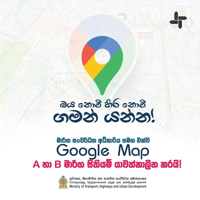
Sri Lanka’s main road network is now supported by real-time condition alerts on Google Maps, Transport Minister Bimal Rathnayake said.
The update covers 12,000 kilometers of main roads and provides six types of alerts, including lane closures and construction work.
The pilot project, aims to help travelers plan routes more efficiently, avoid unexpected delays, and improve road safety, the Minister said.
“This will be a big help to plan your trips better, save time, and avoid unexpected traffic,” Rathnayake said in a post on X.
He encouraged travelers to check the Maps app for updates before heading out.
The pilot will run through December 31. The announcement comes after extensive damage to Sri Lanka’s road networks following the recent cyclone. (Newswire)
For all travelers in Sri Lanka! 🇱🇰
Starting today, Google Maps is updating the info on Main Roads(12000kms) with 6 specific condition alerts (e.g.lane closures, construction, etc.).
This will be a big help to plan your trips better, save time & avoid unexpected traffic! Check… pic.twitter.com/irzRrZpPQr— Bimal Rathnayake (@BimalRathnayake) December 9, 2025